Imagine checking your phone and seeing not just the weather, but also real time soot pollution levels streaming in for your neighborhood.
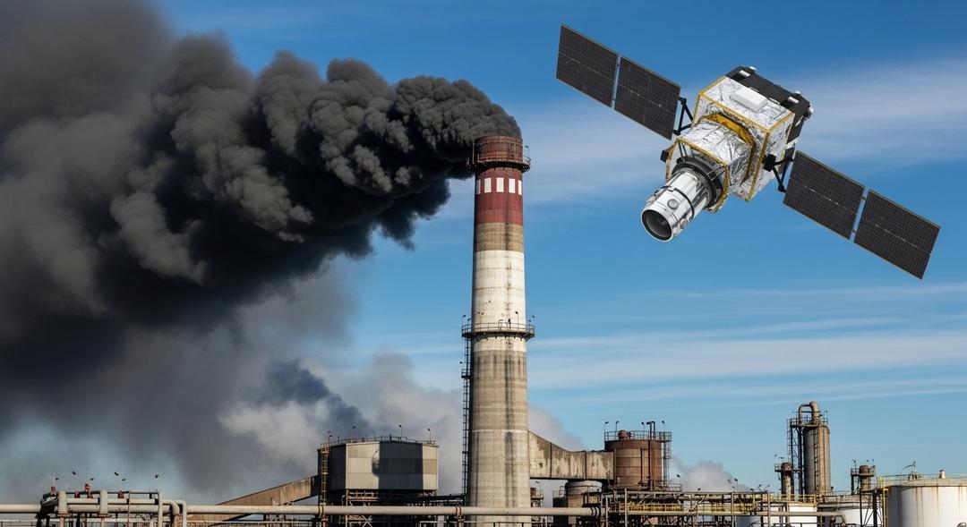
Al Gore has revealed a major development for Climate TRACE, a platform now capable of pinpointing sources of dangerous airborne particles in over two thousand cities globally. The project leverages a vast network that includes hundreds of satellites and thousands of ground sensors, allowing artificial intelligence to scan the atmosphere for fine particle pollution—commonly called soot—that cuts short millions of lives every year.
Gore’s team estimates there are more than three thousand sites around the globe that emit especially high levels of these particles. Their system highlights both the culprits and the scale of the problem, drawing a straight line between fossil fuel burning and hazardous particulate clouds drifting through city streets and across neighborhoods.
For Gore, the question goes beyond science. “When it’s over in their homes and in their neighborhoods and when people have a very clear idea of this, then I think they’re empowered with the truth of their situation,” Gore explained, adding that knowing the reality is the first step toward resolving it.
Unmasking Polluters, City by City
Scientists have understood the health impact of fine particle pollution for years, but tracking its sources with precision has been a challenge. The new Climate TRACE features offer not just data on overall trends, but pinpoint sources, showing residents exactly which facilities are filling the air with toxic particles.
In the United States alone, tens of thousands lose their lives every year to this often invisible pollution. Worldwide, the death toll is in the millions, the result of processes—like oil and coal combustion—that also drive the climate crisis.
During a recent interview, Gore described his visit to a stretch of Louisiana nicknamed Cancer Alley, a corridor lined with petrochemical plants. He shared, “If Cancer Alley were a nation, its per capita global warming pollution emissions would rank fourth in the world, behind Turkmenistan.” The technology used by Climate TRACE provided granular data for both sides of the Mississippi River, mapping exactly where pollution peaked.
Looking at the global landscape, Karachi sits at the top for the largest exposed population, with sprawling cities like Guangzhou, Seoul, New York, and Dhaka following close behind. Each urban area now faces a clearer picture of its particular hazards, equipped with data that could become as routine to check as pollen counts or forecasts.
Within a year, Gore hopes that live particle pollution tracking will be available on everyday weather apps, giving people instant access to information that was once hidden in obscure scientific datasets. For activists and ordinary residents alike, this transparency could be a game changer, transforming how communities respond to the constant threat of dirty air.


